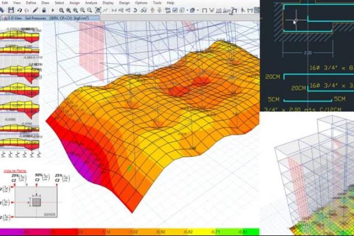
Hec-RAS and ArcGIS for Hydrologic Engineering
Training
Online

Perform hydraulic studies of natural or artificial channels.
-
Type
Training
-
Methodology
Online
-
Class hours
2h
-
Duration
Flexible
-
Start date
Different dates available
Emagister presents to you the Hec-RAS and ArcGIS for Hydrologic Engineering training course endorsed by AulaGEO Academy .
This practical course starts from scratch and is designed step by step, with practical exercises, which allow you to know the essential fundamentals in the management of Hec-RAS.
With Hec-RAS you will have the ability to conduct flood studies and determine flood areas, integrating it with urban planning and land planning.
Compared to other courses that focus solely on explaining technical knowledge, this course also gives a detailed and simple description of all the steps to follow from when we want to start a flood study until its final presentation, making use of the experience accumulated after More than 10 years conducting such studies for administrations, private promoters or research projects.
The course served in english, but includes subtitles to many other languages.
Define your career today! Contact AulaGEO Academy through Emagister.co.uk for more information about this course!
Facilities
Location
Start date
Start date
About this course
"Perform hydraulic studies of natural or artificial channels.Evaluate areas of flooding of rivers and streams.Plan the territory based on areas of flooding or hydraulic public domain.Perform simulations of channels or hydraulic structures.Incorporate the use of Geographic Information Systems (GIS) to facilitate and improve hydraulic studies."
"Graduates or students in degrees related to the management of the territory or the environment, such as Engineers, Geographers, Architects, Geologists, Environmental Sciences, etc.Consultants or professionals interested in territory management, natural hazards or hydraulic management."
"No previous technical or software knowledge is required, although it may facilitate the rapid development of the course having previously used ArcGIS or another GIS.Before starting, you must have ArcGIS 10 installed, and the Spatial Analyst and 3D Analyst extensions activated.Discipline and eager to learn."
"-100% online -Access to the course for life -30 days warranty money back -Available from desktop or mobile app -Can begin and finish the course any time -Can repeat the course any times"
Reviews
-
Étudiant
← | →
-
i recommend it
← | →
-
i recommend it
← | →
Course rating
Recommended
Centre rating
Mouhamed Gaye
Claude Warrence REMANDE OBEDIA
Claude Warrence REMANDE OBEDIA
Claude Warrence REMANDE OBEDIA
Geofrey Dasson Simkonda
This centre's achievements
All courses are up to date
The average rating is higher than 3.7
More than 50 reviews in the last 12 months
This centre has featured on Emagister for 5 years
Subjects
- ArcGIS
- Geometry
- Planning
- Engineering2
2 students say they acquired this skill
- Export
- GIS
- Architecture
- Geography
- Analysis
- Modeling
- HECRAS
- HECGEORAS
- Hydraulic Management
11 students say they acquired this skill
- Technolgy
11 students say they acquired this skill
- Engineers
- Engineering Science
- Remote Sensing
- GeoRAS
- Geospatial
- Geoscience
Teachers and trainers (1)

AulaGEO Academy
Specialized center in Geospatial, Engineering and Operations
We choose the best courses and make them available to new audiences in the spectrum CAD - GIS - BIM - Digital Twins Our training offer covers the entire spectrum of data intelligence: Capture - Modeling - Design - Construction - Operation. The creators of courses with which we have decided to work or promote have been carefully selected, to offer a complementary set of knowledge. We firmly believe that today people do not seek courses to fill their walls with diplomas; but to make their abilities more productive.
Course programme
"Introduction
Course Introduction
General description - the steps of a hydrological-hydraulic study
Base mapping needed to do the course
Download and installation of Hec-RAS and Hec-GeoRAS
Download of Hec-RAS and Hec-GeoRAS
Installation of Hec-RAS and Hec-GeoRAS
Windows settings
Regional settings in Windows
Introduction to Hec-RAS and Hec-GeoRAS: interface and structure
Hec-RAS interface
Hec-RAS file structure
Hec-GeoRAS interface
A brief review of ArcGIS 10
Create and edit layers in ArcMap
Activate the Hec-GeoRAS toolbar
Get a satellite image of ArcGIS Basemap
Prior to the hydraulic study: obtaining cartography
Prior to the hydraulic study
Field work: what information is necessary to obtain
Calculate flow rate according to return period
What is the return period?
Flow Calculation
Construction of Geometry in Hec-GeoRAS
Prepare the MXD project
Create a TIN from contours
Create and draw the riverbed
Create and draw the banks lines
Create Flow Paths Layer
Construct XS Cut Lines
Add additional elements (bridges, walls, buildings, etc.)
Run the attributes
Export Geometry (RAS Data)
Parameterization in Hec-RAS: import geometry ...
Create a new project in Hec-RAS
Import Geometry
Input roughness coefficient
Parameterization in Hec-RAS: bridges and tubing...
Bridge and tubing modeling (1 of 2)
Bridge and tubing modeling (2 of 2)
Parameterization in Hec-RAS: run the analysis
Set flow and boundary conditions
Run the analysis
Export the data as GIS
Modeling in Hec-GeoRAS
Obtaining flood sheets and other information
Visualization of results in Hec-RAS and Hec-GeoRAS
Viewing results in Hec-RAS
Visualization of results in Hec-GeoRAS
Addendum: results display in Google Earth
Export, view and share results in Google Earth"Hec-RAS and ArcGIS for Hydrologic Engineering
up to £ 100
Add similar courses
and compare them to help you choose.
Training by subject


